
Aug 31-Sept 1, 2024 — Racing thunderstorms to reach a beautiful spring-fed pond high up on the ridges of Massanutten Mountain within George Washington National Forest, Luray, VA. The embedded video tracks an overnight trip in late summer, dealing with wet weather and finding surprising isolation within the very narrow Massanutten ridge system.

The route starts at an easy-to-miss parking area off US 211 in New Market Gap, just west of Luray, VA (38.64210, -78.61121). Take the Wildflower Trail south past an abandoned picnic area to Browns Hollow Trail, then begin a steady 1,200-ft climb up the hollow over the next 2.5 miles. Cross a dry saddle and descend to Roaring Run Gap Trail before turning west for a short but steep climb over the main ridge of Massanutten Mountain.

On my trip, the thunder started rolling as I climbed the main ridge and the rain started coming down on my way back down. I turned north on the Massanutten Mountain Trail (Forest Road 375) and then west again on a short spur to Emerald Pond, where I quickly got a tent up in a downpour and whiled away the afternoon napping in dry clothes. The rain let up enough to get out and try a new dinner recipe with pasta, spinach, olive and feta, followed by a long cozy night with persistent rain. (Had the weather been better, I would have definitely done some swimming in the pond!!)
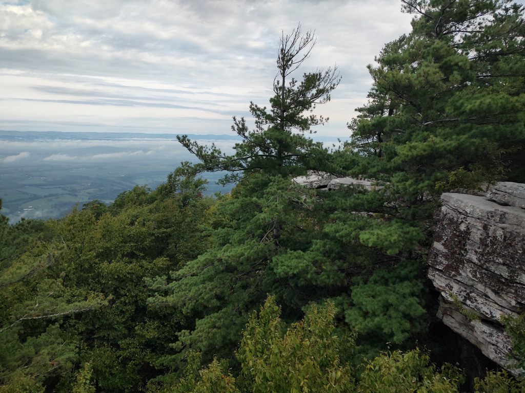
On Day 2, I left the pond heading west up toward Bird Knob, slowly climbing back to the top of the Massanutten Ridge and regaining the Massanutten Mountain Trail. The trail is fast, flat and cruisy up here, and I only stopped briefly when I came across a juvenile black bear on the ridgetop. There’s a lot of dense mountain laurel blocking views here until the north end of the ridge where clifftop views open to the west. From here you make a quick, rocky descent back down to the Wildflower Trail to close the loop.

Key Parameters:
     Length - 11.2 miles
     Ascent - 2,345 feet
     Water - Abundant along Browns Hollow Run and at Emerald Pond. Dry along the ridge from Emerald Pond back to the trailhead. (Treat all water sources.)
     Camping - Several spots along the creek in Browns Hollow, dispersed dry camping on the saddle at the top of Browns Hollow and atop the Massanutten ridge on Roaring Run Gap. At least four good spots in the immediate vicinity of Emerald Pond.
     Trailhead - New Market Gap, 38.64210, -78.61121


